Italia in fumo, a report on Italian fires
In 14 years gone up in smoke 723,924 hectares, an area as large as 2.4% of the Italian surface. Natura 2000 sites and protected areas at risk.
Legambiente’s report fires in Italy
Many concerns have been raised with the numbers and figures released in the new report Italia in fumo (“Italy up in smoke”) produced by Legambiente. The report gives a detailed overview of the wooded and unwooded lands burned in the last 14 years, from 2008 to 2021. It is based on satellite data from EFFIS and considers areas bigger than 30 hectares.
The results of Legambiente’s analysis of data for the years between 2008 and 2021 show a total burned area bigger than 723,924 hectares due to 5,298 fires. This surface, equivalent to 2.4% of the Italian area, has affected the territory of 16.39% of Italian municipalities from 19 Regions and Autonomous Provinces. Over time, criminal actions proved to be focused on well-defined geographical areas.
Fires 2021, facts and most affected regions
As many as 159,437 hectares of wooded and unwooded areas were devastated by flames in Italy in 2021. This surface, equivalent to 223,000 football fields, was 154.8% bigger than the burned land in 2020. At the same time, crimes such as arson and unintentional fires were also on the rise (+27.2% over 2020). However, confirming the great difficulties still encountered in identifying the perpetrators of fires, the figure of arrested people stays very low: just 16, two fewer compared to 2020.
According to Legambiente’s report, Sicily resulted to be the most affected region both in terms of crimes (993) and burned hectares (81,590 ha, 51.3% of the total burned area of the whole country) in 2021. Calabria (674 crimes and 35,480 hectares incinerated), Puglia (601 crimes and 3,660 hectares affected) and Campania (553 crimes and 5,564 hectares on fire) follow based on the number of crimes. These four regions, all in the southern part of Italy and traditionally characterised by the presence of the mafia, account for 52.4% of arson cases and 79.1% of the total burned area.
Fires in Natura 2000 sites and protected areas in 2021
When it comes to fires in natural environments, two types of landscape raise concerns: Natura 2000 sites and protected areas. More than 2,000 fires occurred in the 2,310 Natura 2000 sites in Italy between 2008 and 2021, with 250,000 hectares gone up in smoke. The fires were not evenly distributed along the country, but rather concentrated in a handful of Italian sites of the Natura 2000 network. Sicily alone accounted for 51% of the cases, while if considering also Sardinia, Campania, Calabria, Latium and Apulia, 93% of the total area covered by fire within Natura 2000 sites falls within these 6 regions.
Over the analysed 14 years, 950 fires impacted 118 protected areas, corresponding to 13.55% of the 871 protected areas located in Italy. As expected before, Sicily is the most affected region in these regards too with more than 40% of the total area covered by fire occurring there within 38 different protected areas. Including the regions of Calabria and Campania as well, 78% of the total burned area within protected areas is considered.
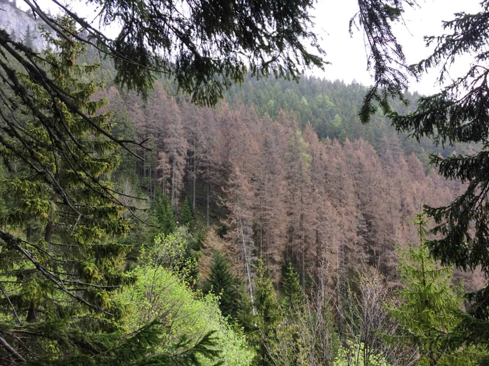
We need a radical change in the approach and response to the phenomenon of fires. […] (which is) an urgent need seeing as the trends in 2022 and in the coming years imply an increase in the phenomenon of forest fires due to the prolonged drought season that is occurring in southern Europe and the resulting conditions that have already caused numerous premature fire outbreaks. Another clear sign, along with the melting Alpine glaciers, that the climate crisis is already underway.
Current status of fires in Italy
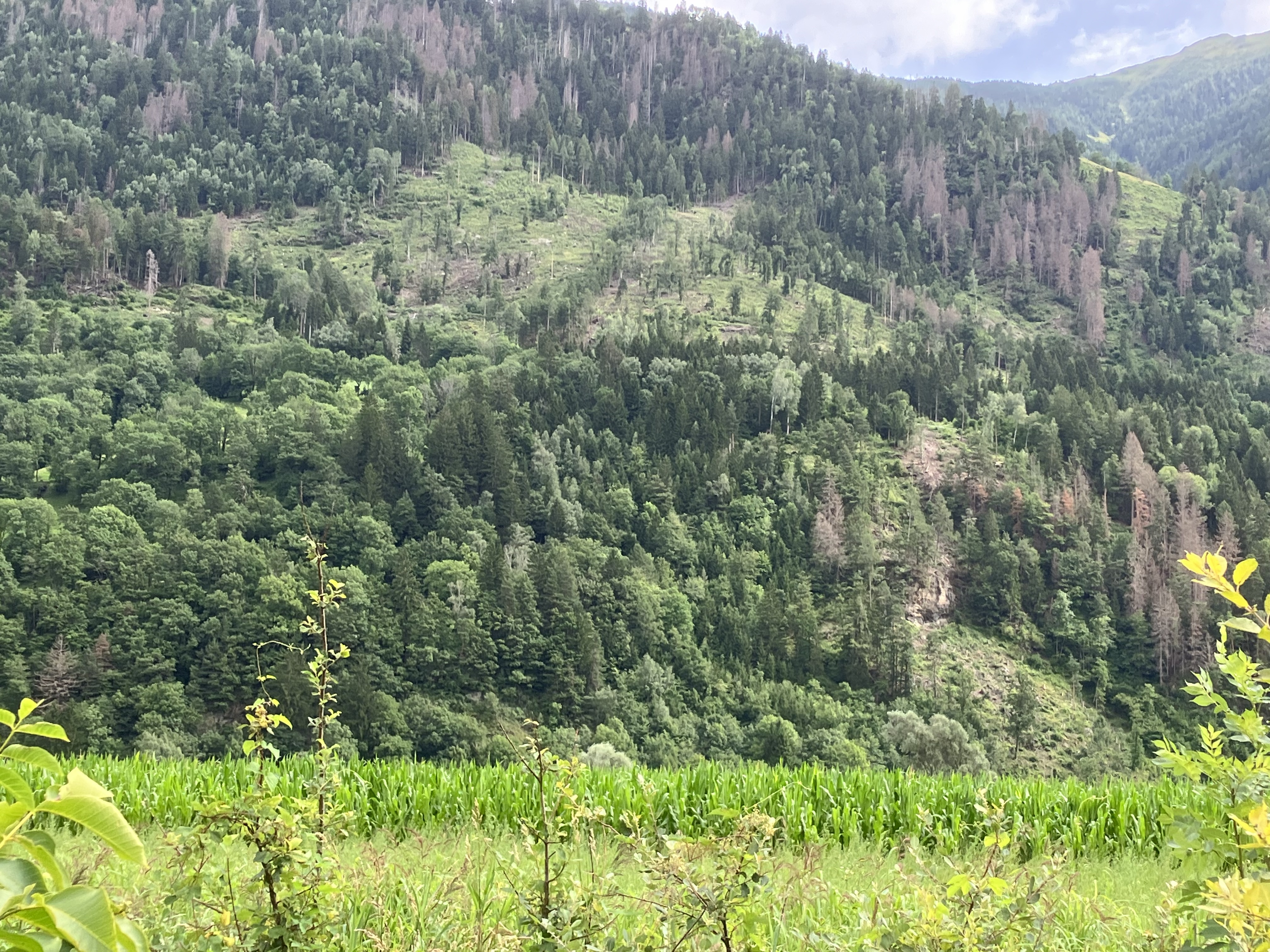
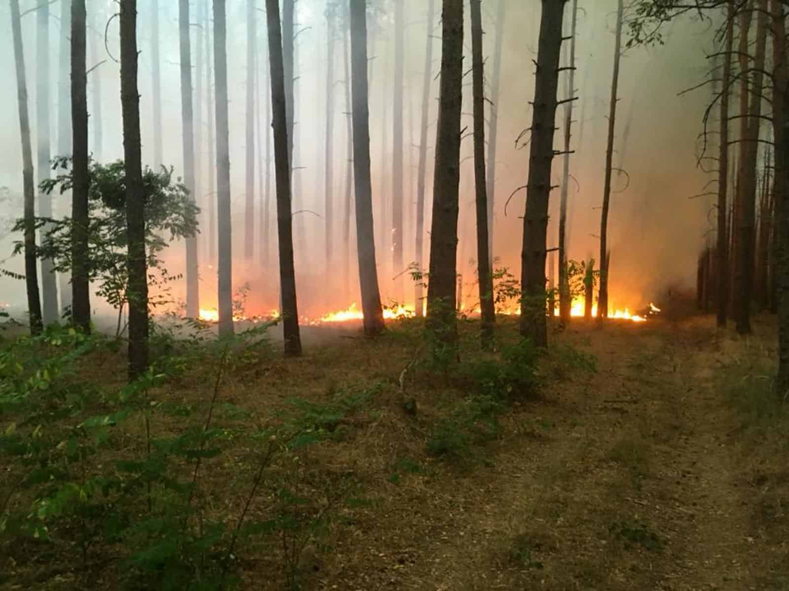
Italy is up in smoke. As with any other summer in the last years, there are fire emergencies everywhere, from the North to the South of the peninsula. These fires are often caused by arson with criminal intents, set for speculative purposes, or as an act of spite between private individuals or towards the public administration. Exacerbating it all is the climate crisis, the scorching heat and the drought emergency. More than 26 thousand hectares have burned from January 1 until July 15, 2022 (data from EFFIS) and 32,921 fire fighting interventions have been recorded and carried out from June 15 until July 15 2022 (with an increment of +4,040 cases compared to the same period in 2021).
Gaia Observer App
To offer the public the possibility of checking fire-affected areas greater than 30 hectares, online and even when in the field, Legambiente has uploaded all EFFIS satellite data to the Gaia Observer App. This free service, open to all citizens, features a “report area” function, which allows the app to notify the user when entering an area affected by fires on a European scale. Even if time makes signs and traces of fire events harder to find, this app will give certain information about the fire history of the crossed areas.
Share this:

Discover more from European Wilderness Society
Subscribe to get the latest posts sent to your email.