Visualization of prehistoric forests
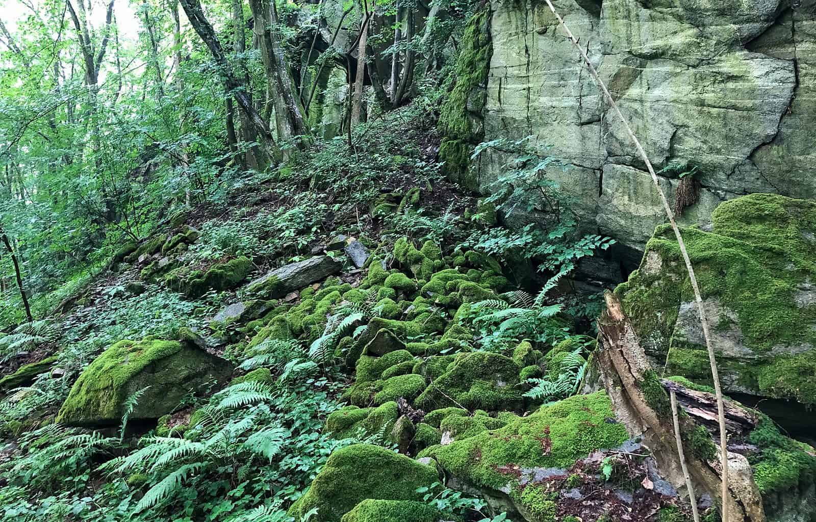
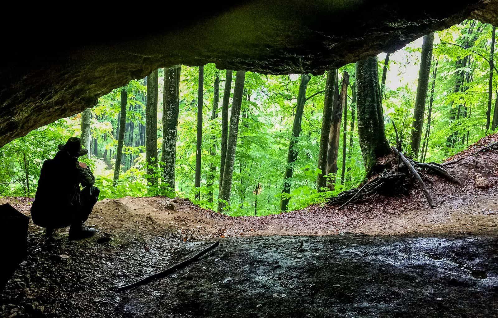
Searching for primeval forests
Knowledge about prehistoric forests provides interesting information about the dynamics changes in the landscape.
Changes that have happened and are still happening in front of our eyes without noticing them. Simply because, the perspective of the length of human life, is often slow and therefore not always easy to recognize.
The reason for that is simple. The following generation always takes as a comparative basis the appearance of the country since its representatives came into this world. Usually, the appearance of the country as it looked when they were young is engraved in their memory.
All the changes occurring in the country are compared to this moment. If changes take place very, very slowly, entire generations of people basically do not register that any change has occurred. Many times, even if they notice the change, it is unimportant to them or even in line with their goal of reshaping the country.
In short, these are changes that people can only assess by looking at the landscape at a distance of more than a few centuries.
Professionally, this fact is named: Shifting baseline syndrome.
Dynamics of country development
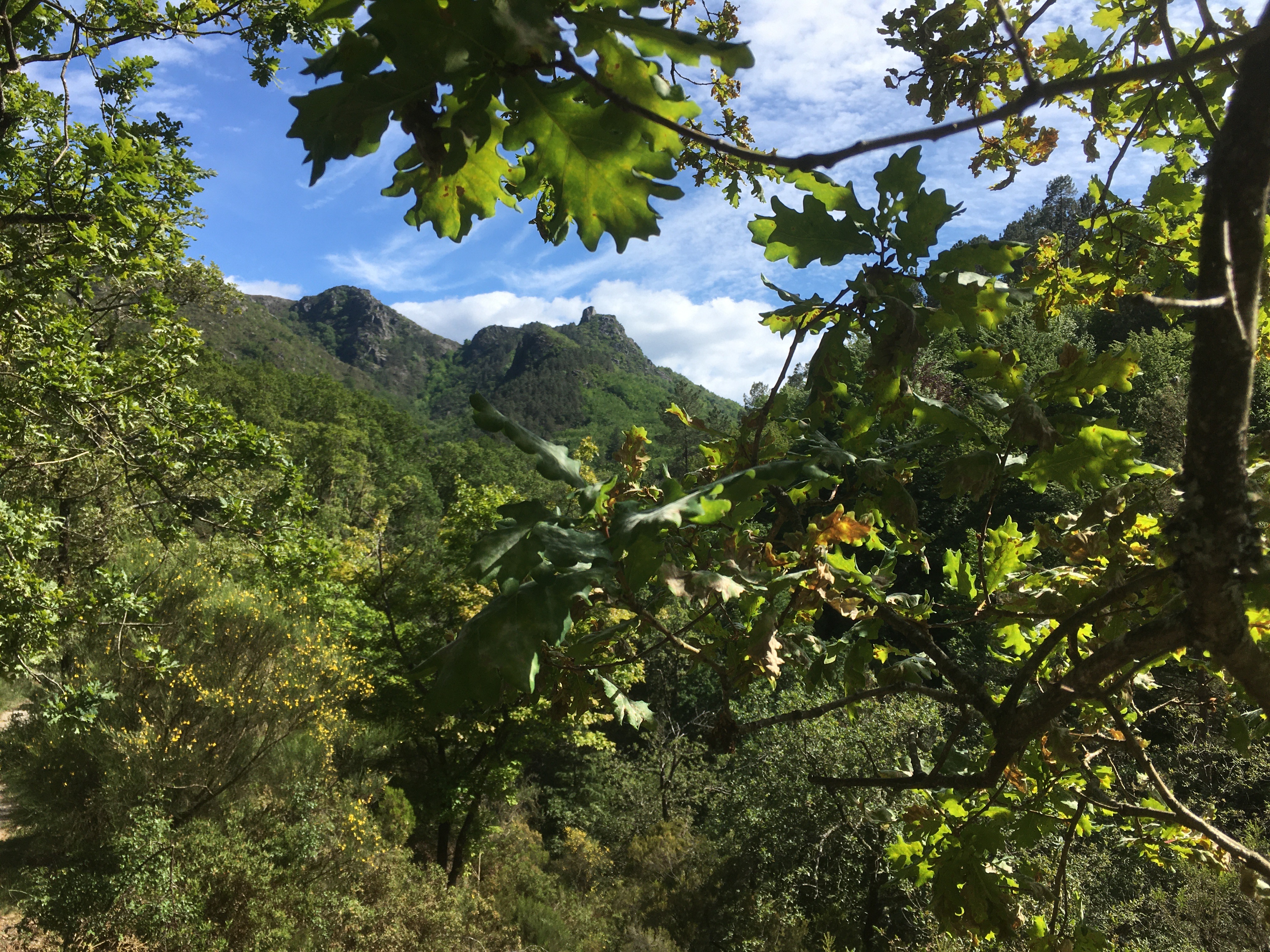
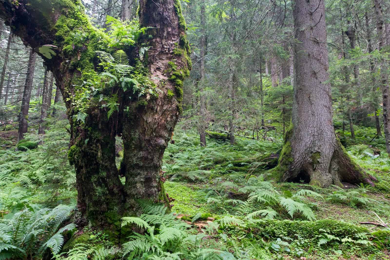
Knowledge about prehistoric forests from the past helps us also to understand the dynamics of the current forests development. We can learn when and where forest was the dominant element in the country for centuries or millennia. We can learn even the dynamics of the entire country.
In the selected specific area, this knowledge can provide us with an interesting picture of the sequence, namely the slowness or, on the contrary, the speed of these changes.
The knowledge is here, the visualization is missing
Man is often surprised by the amount of knowledge about changes happened in ancient times that is already available today. Researchers and scientists already know what kind of forests grew in a particular area and when. How these kind of forests influence the surrounding landscape with their presence, how they were impacted by the changes that were passing through the landscape.
The results of the researches hard work are usually summarized in scientific reports. It is often information that tells us what kind of forests grew in which area. However, it is up to our imagination or experiences, how we can imagine them in our mind and turn them into real images.
However, these documents are not always available or easily understood by the general public. Many times, documents are too technical and full of foreign terms for ordinary people. This can be changed, at least partially, by visualizing the changes in the landscape. A comparison of how the country looked, let‘s say, two thousand years ago and today.
Visualization project
These findings led to the creation of an interesting project called “Visualization of prehistoric forests – prehistoric wilderness”. Its goal is mainly to provide a sample of visualization options and facilitating a better understanding of the prehistory of our country where we live. Many times, it is history that we know a lot about but cannot imagine.
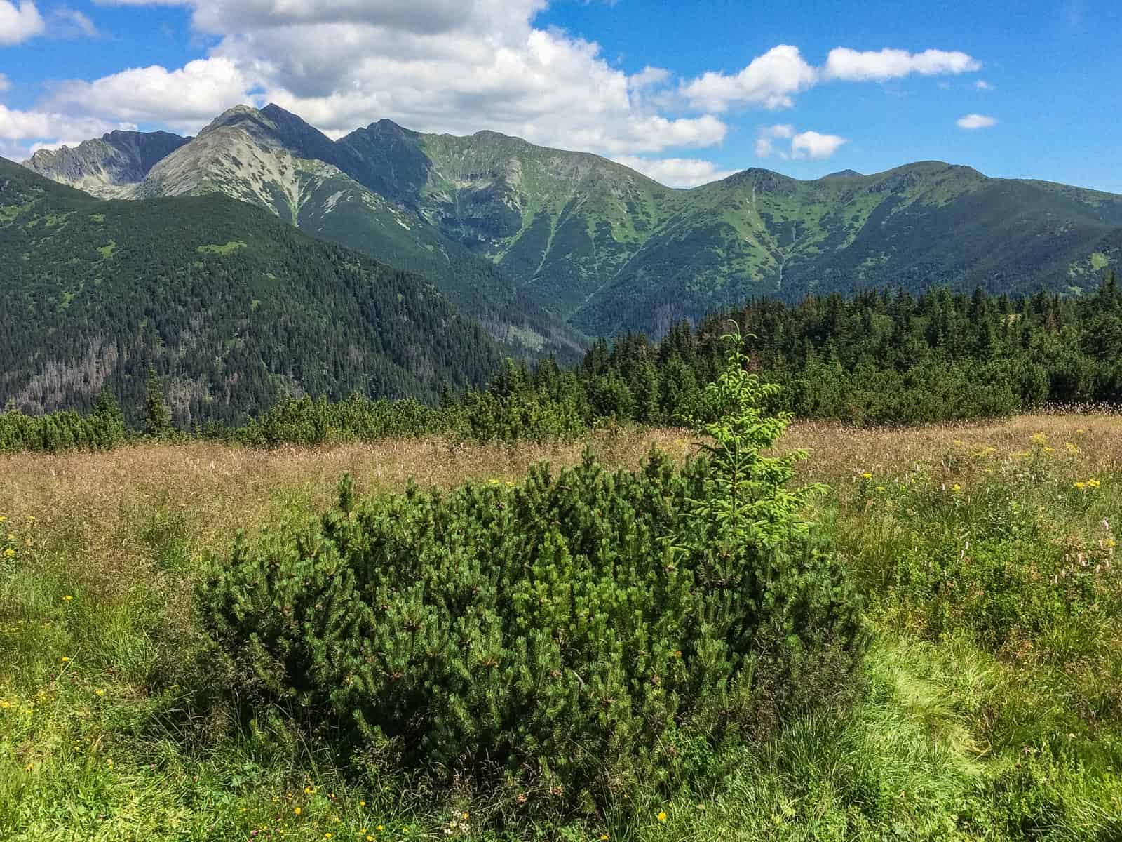
A small group of enthusiasts living at the foot of the Tatra Mountains, the highest mountain range of the Carpathians, decided to try visualize something that was at the beginning only in their heads and minds. The motivation was the desire to share this experience with their friends, or with people who are interested in this issue.
Team project
A small team of international professionals (Slovakia and Austria) chose the surroundings of the majestic and dominant peak of Slovakia – Kriváň as the model area. It is the area where the Slovakian part of the team were born, raised and live. After long preparations, they finally reached the beginning of the implementation phase.
It is the moment when, under the skilful hands of computer experts, a picture of prehistory began to emerge. The picture is showing a slice of today’s landscape, as it probably looked 2,000 years ago. It is an image that, in its result, will provide a simple and illustrative aid for the general public. An image of a real landscape from prehistory.
Their work is led by the group of international advisors with a close relationship to the natural history of this area.

Conclusion
The team of enthusiasts is aware that they are still at the beginning of the journey. But what motivates them is that a project created under their hands will gradually take on a real image in these days and weeks. They believe that they will achieve planning objective soon.
I was very interested in the opportunity to participate in the project of visualization of prehistoric forests in a country that I know and love very well. Computer graphics is one of the topics I study at our school, so I am very happy that I can be involved in the creation of the graphic part of the project. I have learned a lot since the first meetings and I look forward to every next working meeting.
Share this:

Discover more from European Wilderness Society
Subscribe to get the latest posts sent to your email.