From Maps to Photos: Unveiling the Past Landscapes
This post is written by Aurelien Rinaudo.
Sometimes it is complicated to understand the history of a territory’s landscape. Yet, it can be essential to understand this history in order to grasp the dynamics and play within it. Generally, when we focus on the last 70 years, we find many documents such as aerial photos. We also find state maps, which can date back to the 18th century. In France, for example, there are the Cassini maps, produced by four generations of cartographers between the end of the 17th century and the 18th century.
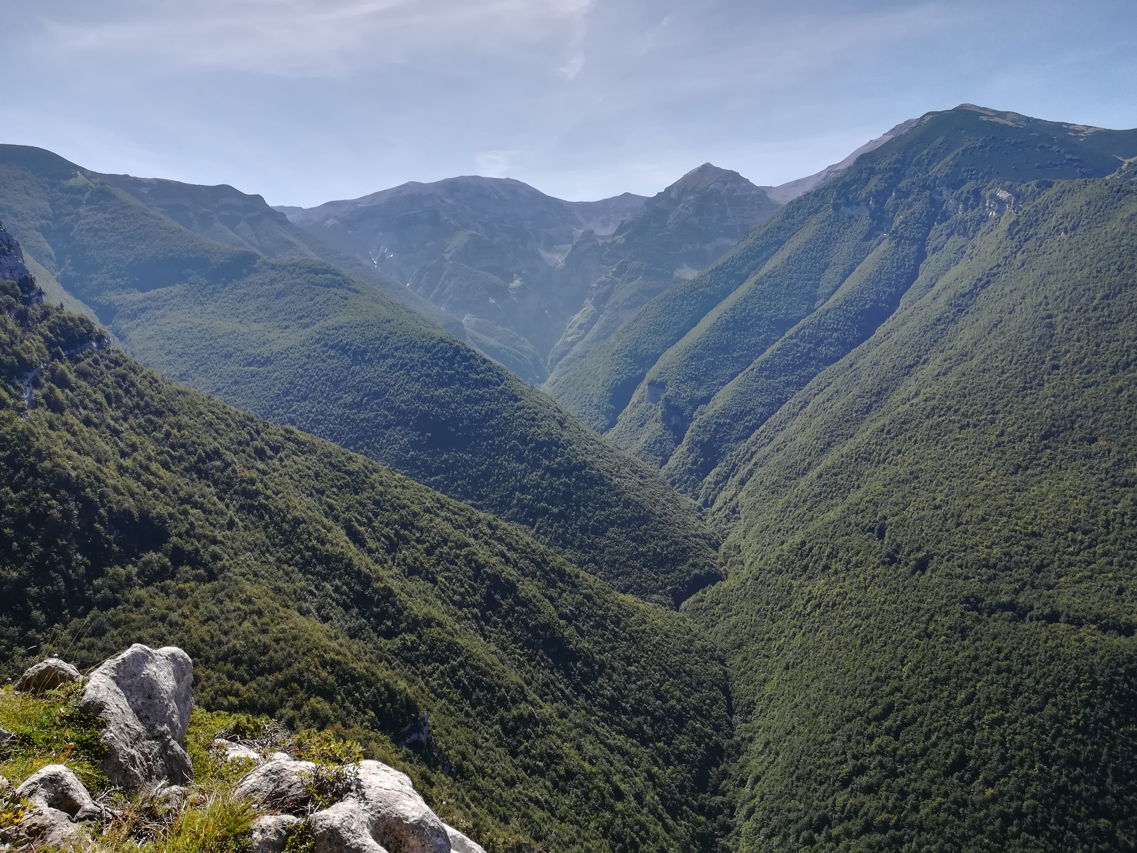
Maps can help us see the evolution of the landscape, particularly in terms of forest areas, the size of villages, communication routes, or even types of crops such as vineyards or orchards. However, the older the maps are, the more approximate the cartography methods were. Therefore, we cannot rely on these maps for precise data but only to determine trends. These maps also do not help us understand the actual use of the territories or their management.
Understanding Territorial Evolution Through Historical Visuals
To supplement the information provided by maps, we can use various historical representations of the territory. In general, historical photographs and postcards are testimonies of the past. Art, particularly painting, can also help us understand how these territories functioned, although we must approach these elements with caution as they can sometimes be idealized.
Photographs, on the other hand, are witnesses on which we can rely with certainty. We can have two different interpretations of these photos. The first is a factual interpretation, in which we compare the past landscape with the current landscape. This type of photography is very important because it allows us to see the evolution of urbanization, forests, etc. We do not necessarily need the landscape to be in the foreground of these photos; even when it constitutes only the background, it can provide us with valuable information.


The two photos above illustrate well this first approach of landscape comparison. On the left, there is an image of Göriachwinkel, a village in a valley near Tamsweg, taken in 1925. We see a number of houses and the surrounding environment, which consists of meadows and forests. There are also numerous scree slopes in these spaces.
On the right, there is the photo I took this year, where we can see that the landscape has evolved significantly since 1925. Firstly, we notice the expansion of the forest almost everywhere around this place. This photo shows us concretely how the forest has grown in these spaces. This evolution is more striking in photos than when we make a map showing forest changes.
Beyond the forest’s evolution, we can also observe changes in the meadow in the foreground. In 1925, we see a meadow with many stones. Today, there are almost no stones in these spaces. This pasture has undergone development to make it more productive, potentially indicating a change in agricultural practices. We could never have seen this change on maps because it is too small to appear on them. But the postcard allowed us to highlight this change. An old photograph allows us to make the same observations.
Historical Photos: Insights into Agriculture, Technology, and Tourism
However, these are not the only pieces of information they can provide. With photos, we can understand the uses of the mountain. This is done by observing the agricultural practices or activities depicted in these photos, as well as the photographer’s interest in what he or she is capturing. Thus, depending on the era, different things will be photographed. As technological advances become more significant, agricultural machinery or bridges will be photographed. When the mountain itself becomes a source of fascination, we will find photos of it.
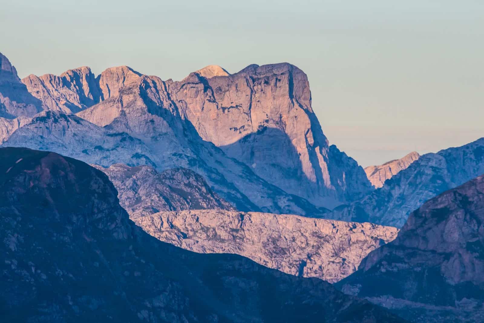
This is the case with the Preber, a peak near Tamsweg, which has been photographed since the 1920s. This shows us that this territory already had an interest due to its relief, attracting people for tourism. This is important information because it allows us to trace the history of tourism and understand its current place. When agricultural activities are highlighted, we can use them to understand the local evolution of agriculture and compare it with other similar regions.
All these pieces of information, which do not appear on maps, can greatly help us understand the territories. These pieces of information can also be found in books or articles that were written to describe places, travel narratives, descriptions of agricultural practices, etc. It is interesting to compare them, when possible, with what we see in photographs.
Conclusion
The use of historical photographs and postcards is a valuable resource when we seek to understand the history of a territory. These images, which are testimonies of moments in life, agricultural practices, or landscapes, are precious resources for understanding the way of life of past inhabitants, whose lives were sometimes very different from ours, in often more isolated territories with a stronger connection to natural elements.
Share this:

Discover more from European Wilderness Society
Subscribe to get the latest posts sent to your email.